
Les Garrigues
Information
Oficina Comarcal de Turisme
-
Av. de Francesc Macià, 54
Les Borges Blanques
25400 LLEIDA - 973 142 658
- turisme@garrigues.cat
The region (la comarca) of Les Garrigues, with 19.010 inhabitants (2021) and 799,71 sq. km, borders Segrià, Pla d’Urgell and Urgell in the north; Priorat in the south; Conca de Barberà in the east; whereas in the west, it is bounded by Tarragona’s region Ribera d’Ebre.
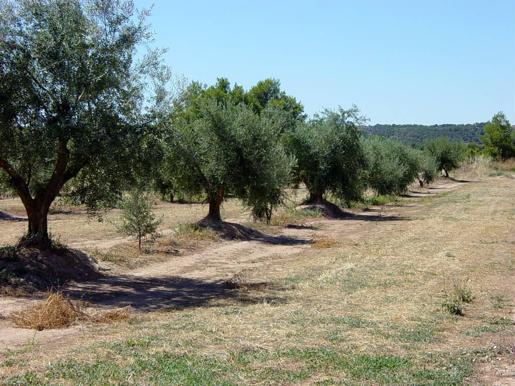
Besides the geographical boundaries of the region, the terrain of Les Garrigues itself dictates the changes in the scenery. The landscape is outlined by the strips of olive and almond trees, stretching across the region. Here the dry and arid soil prevails, except in certain areas. The olive tree is the most widespread crop in the region. The most wide spread variety of olive tree in this region- is the Arbequina. It has a small, round fruit with a firm flesh. Arbequina olives produce olive oil with low acidity, which is considered to be the best olive oil by experts.
Arbeca, Les Borges Blanques, Juneda, Puiggròs, and part of Castelldans compose an area where lucerne, corn and, above all, fruit trees are able to grow thanks to the water from the Urgell canal.
Furthermore, in Albi, Cervià, Espluga Calba, Fulleda, Pobla de Cérvoles, Tarrés, Vilosell and Vinaixa the grapes for making cava is grown.
The River Set, the most important river in the region, is born in the heart of Serra de Llena (mountain range), but most of the year it is dry due to arid and continental climate. When it does carry water, it flows through Vilosell, Pobla de Cérvoles, Albi, Cervià, Albagés and Cogul.
Stone also has a special place in the cultural heritage of the region. Dry stone constructions are mainly either old huts with arched roofs, water containers, field containing walls or field boundaries and shelters. These constructions were exclusively built of stone (without any type of mortar ) and perfectly fit the Garrigues landscape.